

Unusual Altocumulus
/
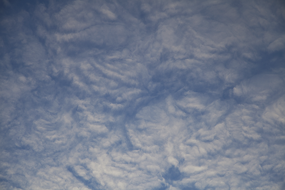
This unusual layer of altocumulus clouds was visible from Cedar Falls this morning shortly after 7:30 CST. The top photo shows a wide view (17 mm) while the bottom photo was shot at 104 mm. I have watch the sky for over 60 years and have never seen a formation quite like this. There appears to be a combination of gravity waves acting with weak convective instability in an area of warm advection aloft to create the pattern. The cloud area was moving toward the south (L to R). The surface air temperature was 6 degrees F.