

Clouds of the Day - Delicate Cirrus uncinus - Tuesday, February 13, 2024
/Cirrus uncinus are hooked shaped Cirrus clouds caused by precipitating Cirrus with streamers of ice crystals falling down and away from the head of the hook. The first four photos below show progressively closer views of the uncinus type of Cirrus. The remaining three photos show different forms of Altocumulus in a layer lower than the Cirrus above.

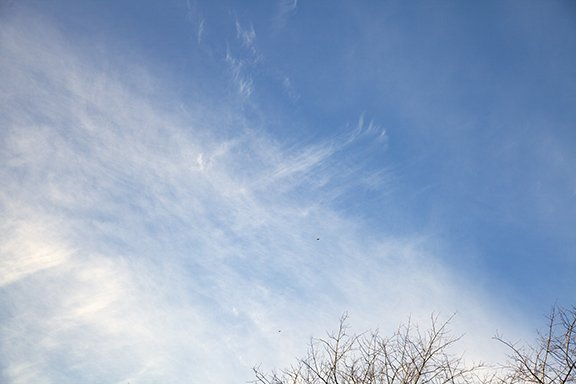
Cirrus uncinus with a layer of higher Cirrus above.

Cirrus uncinus are very thin in this photo.

The hooked Cirrus are easier to see in this photo. blending into Cirrus fibratus and Cirrostratus.
The better contrast in this photo makes the Uncinus easier to see. Notice the head of Cirrus uncinus with the ice crystals precipitating out of the thicker head of each cloud and trailing away down and to the left. The denser heads are where the ice crystals are forming and growing with the ice crystals falling away because the winds near the heads is moving faster than the air in the layer with the streamers is moving. The layer of cirrus fibratus and Cirrostratus are seen over the left and bottom of the photo.

This photo shows a lot is going on up there. First the wave clouds in the foreground are Altocumulus with a wave pattern from the middle to lower center. There appear to be cloud forming at the top of each cloud line with streamers falling into a line below. Above all that is a layer of cloud that reveals a pattern of waves moving from left to right above the Altocumulus. The waves are visible because of the smooth bands of cloud that are separated by bands of clear sky or very thin cloud. The clouds are at the top (ridge) of the waves with the clear sky at the bottom (trough) of each wave.

Altocumulus embedded in a layer of waves or random waves.

Altocumulus in a wave pattern.