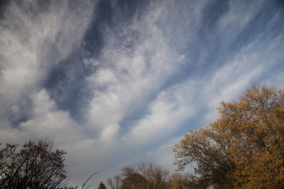
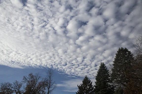
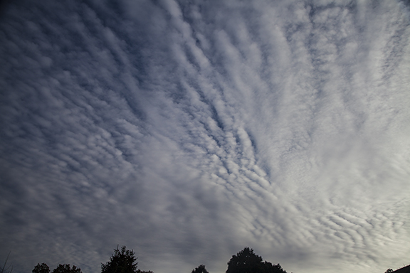
Yesterday's post showed a cold front from Hudson Bay into southcentral Canada and then northwestward parallel to the mountains in western Canada. Today that front has moved to eastern Hudson Bay to Lake Superior, South Dakota, then northwestward across Montana into southwest Canada. The polar front we were watching was stretched across the southern United States.
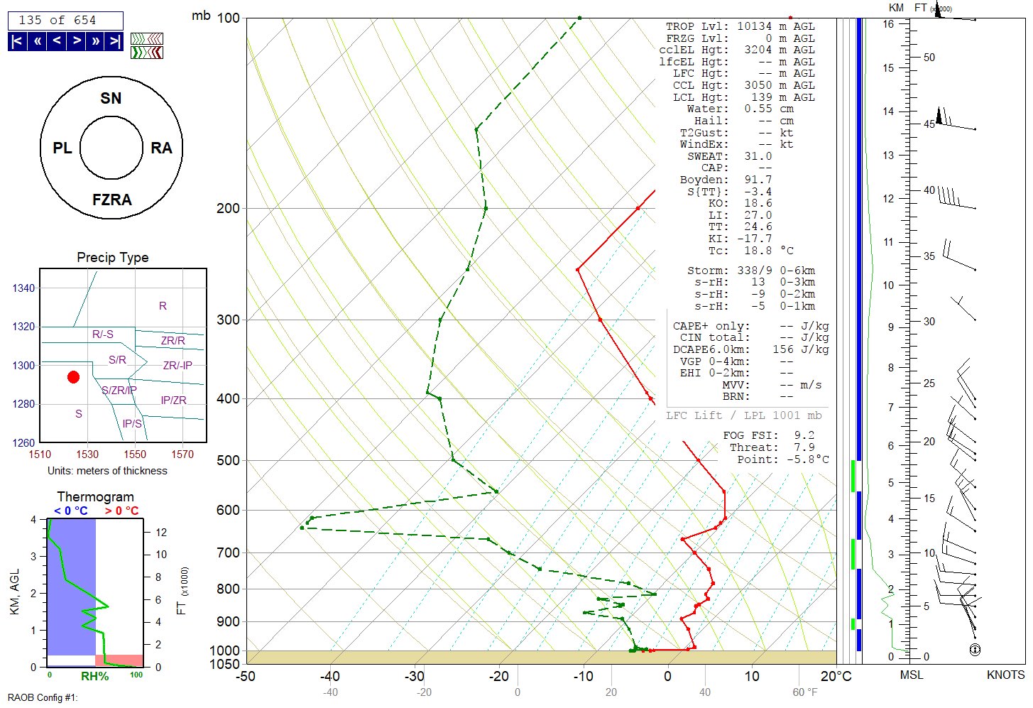
These fronts form in the middle latitudes where temperature contrasts from north to south create traveling cyclones (low pressure) and anti-cyclones (high pressure). The flow of these systems is a major part of managing the Earth's heat budget, bringing warm air north and cold air south to dissipate the middle latitude temperature differences. More about that in a different post.
For now we can say the arctic front continues to move southeastward with its air mass being modified by warmer ground, longer days, and mixing with warmer air. Ahead of the front warmer air is moving north to be cooled by colder land and water, shorter days, and mixing.